Loading…
Service Image

GIS & CAD

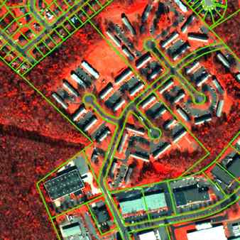
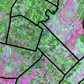
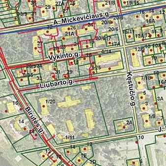
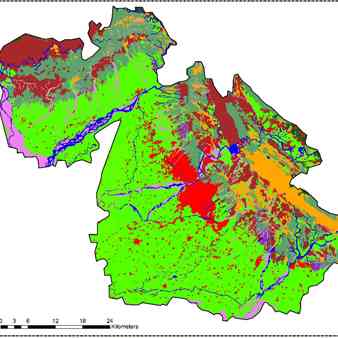
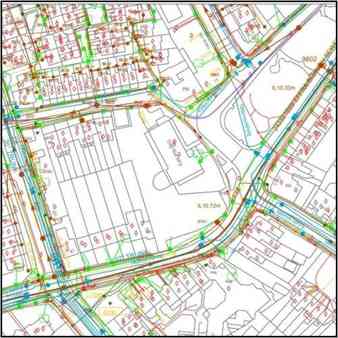
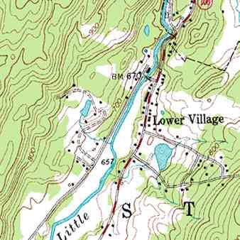
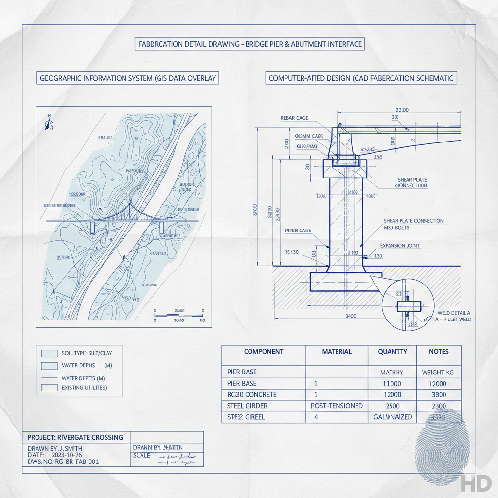
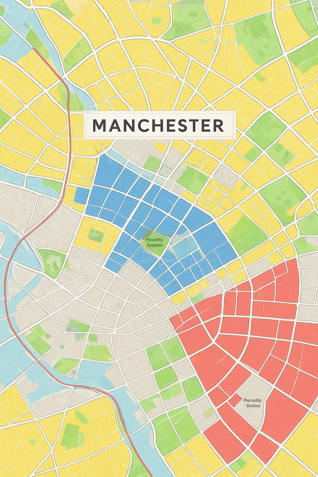
CODESCRIBO provides comprehensive GIS services that enable effective visualization of geographic data, in-depth analysis of spatial relationships, and efficient data management. Our GIS data conversion solutions integrate diverse sources into a unified format, improving data accessibility, analysis, and practical application.

OUR What We Do

We help organizations implement and scale advanced Technologies through specialized services across:

  • Cadastral Mapping
  • GIS Remote Sensing
  • Parcel Mapping
  • Land Use/Land Cover Mapping
  • Utility Mapping
  • Topographic Mapping
  • Fabrication Detail Drawing
  • City Planning
  • Technologies
Cadastral Mapping
  • Precise mapping of land parcels and property boundaries.
  • Supports land ownership documentation, legal compliance, and urban planning.
GIS Remote Sensing
  • Acquisition and analysis of satellite and aerial imagery for spatial insights.
  • Enables land cover classification, environmental monitoring, and urban analysis.
Parcel Mapping
  • Detailed mapping of individual parcels for ownership, taxation, and development planning.
  • Facilitates accurate property management and urban development projects.
Land Use/Land Cover Mapping
  • Classification and mapping of land use and land cover types.
  • Supports environmental monitoring, resource management, and urban planning.
Utility Mapping
  • Mapping of utilities such as electricity, water, gas, and telecommunication networks.
  • Enables efficient planning, maintenance, and monitoring of public infrastructure.
Topographic Mapping
  • Generation of detailed topographic maps showing terrain elevations and features.
  • Essential for civil engineering, land development, and environmental planning.
Fabrication Detail Drawing
  • Preparation of detailed CAD drawings for construction and fabrication purposes.
  • Supports design accuracy, project execution, and infrastructure development.
City Planning
  • Comprehensive planning of urban layouts, infrastructure, and zoning.
  • Supports sustainable development, smart city initiatives, and optimized land use.
Here’s a comprehensive list of the AI tools, frameworks, and technologies we specialize in.
3ds-max
AutoCAD
autodesk-revit
autodesk
blender
bricscad
mbs
sketchup
claude
apache-spark
dbt
enscape

OUR OFFERINGS

We generate high-accuracy 3D digital twins of wireless towers, rooftops, and surrounding radio environments to improve RF planning, structural reviews, and deployment accuracy.

Cadastral Mapping

We capture and maintain complete wireless asset inventories, including antennas, RRUs, cables, power units, and small cells—ensuring real-time visibility, optimized audits, and accurate field reporting.

GIS Remote Sensing

We map antenna placements, RRH locations, azimuths, tilt angles, and mounting heights to create precise tower layouts that support RF optimization and upgrade planning.

Parcel Mapping

We analyze mount load capacity, equipment weight, wind impact, and structural behavior to validate wireless antenna installations and ensure safe, compliant tower usage.

Land Use/Land Cover Mapping

We document field-installed wireless equipment, cable runs, GPS locations, and configuration changes, ensuring accurate site records for operations, audits, and future expansions.

Utility Mapping

We assess structural integrity, load-bearing capacity, and equipment weight limits using engineering models to support new antenna additions, upgrades, and compliance checks.

Topographic Mapping

We assess structural integrity, load-bearing capacity, and equipment weight limits using engineering models to support new antenna additions, upgrades, and compliance checks.

Fabrication Detail Drawing

We assess structural integrity, load-bearing capacity, and equipment weight limits using engineering models to support new antenna additions, upgrades, and compliance checks.

City Planning

Industries We Serve

  • Construction & Infrastructure – Advanced GIS and CAD mapping services to support infrastructure planning, engineering design, and construction management. Our solutions include topographic mapping, utility mapping, as-built drawings, and infrastructure base maps, enabling precise project planning and efficient design workflows.
  • Urban Planning & Smart Cities – Comprehensive GIS data creation and CAD drafting for urban development projects, including city mapping, zoning analysis, land parcel mapping, and infrastructure planning. Our geospatial datasets support digital city models and smart urban infrastructure planning.
  • Transportation & Road Infrastructure – GIS and CAD mapping services for road networks, highway corridors, rail infrastructure, and transportation planning. We support roadway inventory creation, corridor mapping, transportation asset mapping, and engineering CAD drawings for infrastructure development.
  • Utilities & Infrastructure Asset Management – Accurate GIS database creation and CAD drafting for utility networks including power lines, telecom infrastructure, pipelines, water networks, and underground utilities. These datasets support efficient asset management, infrastructure monitoring, and maintenance planning.
  • Land Management & Environmental Projects – Geospatial mapping and CAD drafting for land use analysis, cadastral mapping, environmental monitoring, watershed mapping, and forestry projects, enabling better planning and sustainable land management.

Why CodeScribo GIS & CAD Services?

  • End-to-End GIS & CAD Solutions – Comprehensive services including GIS data creation, CAD drafting, feature extraction, geospatial digitization, and infrastructure mapping.
  • High-Accuracy Geospatial Data Production – Delivering precise GIS datasets and CAD drawings suitable for engineering, infrastructure planning, and asset management applications.
  • Standards-Based Geospatial Workflows – Following international GIS and CAD standards to ensure reliable, consistent, and interoperable geospatial datasets.
  • Advanced GIS & Mapping Technology – Utilizing industry-leading GIS software, CAD platforms, and geospatial technologies to deliver scalable and efficient mapping solutions.
  • Dedicated Project Support – Providing continuous support for GIS database updates, CAD revisions, and long-term geospatial data management with strict project delivery timelines.

Client Highlights – GIS & CAD Geospatial Expertise

  • Large-Scale GIS Data Creation – Delivered large-scale GIS datasets including infrastructure layers, land parcels, transportation networks, and environmental features to support enterprise geospatial databases.
  • CAD Drafting & Engineering Mapping – Produced high-precision CAD drawings and engineering maps including topographic plans, utility layouts, as-built drawings, and infrastructure design support.

GET IN TOUCH

Call us, Email us or simply Send us a quick query using the form below...